 |
|
Services

Geographic Information Systems

Scientific, developmental and technological experiences allow our company to implement a variety of practical geographic information monitoring systems:
- Location of cargo, transport, aircraft or sea vessel, geologist;
- Design systems for roads, structures on the ground.
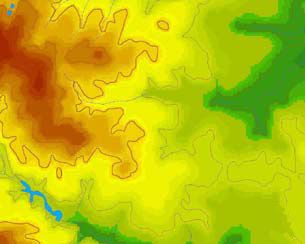
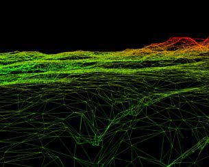
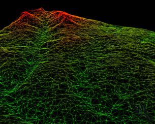
The slides show a map of a site and its volumetric display in various angles and at different scales. Slides are made using a special program. This program can be used to solve specific practical tasks.
Slides are a fragment of a special program developed by leading specialists of IntraSoft JSC. Upon request our team can develop the applications you need based on most existing GIS: Panorama, Mapinfo, etc.